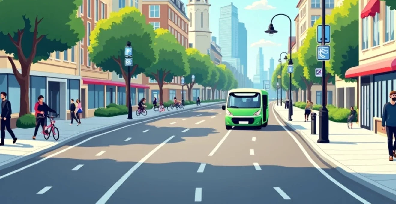
Urban mobility is undergoing a profound transformation, reshaping how we navigate and experience our cities. As urban populations continue to grow, the need for sustainable, efficient, and innovative transportation solutions has never been more pressing. From micro-mobility options to smart city infrastructure, cities worldwide are embracing cutting-edge technologies and forward-thinking urban planning strategies to create more livable, environmentally friendly, and interconnected urban spaces.
This shift towards smarter urban mobility is not just about reducing traffic congestion or lowering emissions—it's about fundamentally reimagining how we interact with our urban environments. By embracing these new mobility paradigms, cities are paving the way for a future where transportation is seamless, sustainable, and tailored to the needs of their residents.
Micro-mobility revolution: e-scooters and bike-sharing systems
The micro-mobility revolution has taken cities by storm, offering flexible, eco-friendly alternatives for short-distance travel. E-scooters and bike-sharing systems have emerged as popular solutions for the "last mile" problem, providing convenient options for commuters to bridge the gap between public transit stops and their final destinations.
Bird and Lime: pioneers of dockless e-scooter sharing
Companies like Bird and Lime have spearheaded the e-scooter sharing movement, introducing dockless electric scooters to cities across the globe. These nimble vehicles offer an efficient and fun way to navigate urban areas, reducing reliance on cars for short trips. However, their rapid proliferation has also sparked debates about safety, sidewalk clutter, and regulatory challenges.
Copenhagen's integrated bike-sharing network: bycyklen
Copenhagen, renowned for its cycling culture, has taken bike-sharing to the next level with its Bycyklen system. These electric bikes are integrated with the city's public transportation network, allowing users to easily combine cycling with other modes of transport. The system's success demonstrates how thoughtful integration of micro-mobility options can enhance overall urban mobility.
Last-mile connectivity: solving urban transit gaps
Micro-mobility solutions are particularly effective in addressing the "last mile" challenge, filling the gaps in existing public transit networks. By providing convenient options for short trips, these services encourage more people to use public transportation for longer journeys, reducing overall traffic congestion and emissions.
Micro-mobility is not just a trend—it's a fundamental shift in how we approach urban transportation, offering flexible, sustainable solutions for short-distance travel.
Iot and GPS tracking in shared mobility platforms
The success of micro-mobility platforms relies heavily on Internet of Things (IoT) technology and GPS tracking. These technologies enable real-time vehicle location tracking, efficient fleet management, and data collection for improving service quality and urban planning. The IoT ecosystem underpinning these platforms is crucial for their seamless operation and integration into the broader urban mobility landscape.
Smart city infrastructure for sustainable transportation
As cities strive to become more sustainable and efficient, smart infrastructure plays a pivotal role in reshaping urban transportation systems. From intelligent traffic management to innovative parking solutions, these technologies are helping cities optimize their existing infrastructure and reduce their environmental impact.
Amsterdam's intelligent traffic management system
Amsterdam has implemented a sophisticated intelligent traffic management system that uses real-time data to optimize traffic flow throughout the city. By adjusting traffic signals based on current conditions and predicting potential congestion points, the system has significantly reduced travel times and emissions. This data-driven approach to traffic management showcases how smart infrastructure can improve urban mobility on a city-wide scale.
Barcelona's superblocks: reclaiming streets for pedestrians
Barcelona's innovative superblock concept is transforming the city's urban landscape by prioritizing pedestrians and cyclists over cars. By redirecting traffic around larger blocks and converting interior streets into public spaces, the city is creating more livable neighborhoods and reducing air pollution. This bold urban planning strategy demonstrates how rethinking street design can have a profound impact on urban mobility and quality of life.
Smart parking solutions: SF Park's dynamic pricing model
San Francisco's SF Park program uses a dynamic pricing model to optimize parking availability and reduce traffic caused by drivers searching for spaces. By adjusting parking rates based on demand, the system encourages more efficient use of parking resources and reduces congestion. This market-based approach to parking management showcases how smart city technologies can address common urban challenges in innovative ways.
Electric vehicle charging networks: Tesla Superchargers and urban integration
The growing adoption of electric vehicles (EVs) necessitates the development of robust charging infrastructure in urban areas. Tesla's Supercharger network has set a new standard for fast-charging technology, while cities are working to integrate charging stations into existing urban infrastructure. The seamless integration of EV charging networks is crucial for supporting the transition to electric mobility and reducing urban emissions.
Public transit modernization and multimodal integration
Modernizing public transit systems and integrating various modes of transportation are key priorities for cities aiming to improve urban mobility. By leveraging technology and innovative service models, cities are creating more efficient, user-friendly, and interconnected transportation networks.
Helsinki's Whim app: Mobility-as-a-Service (MaaS) implementation
Helsinki has pioneered the concept of Mobility-as-a-Service (MaaS) with its Whim app, which allows users to plan, book, and pay for various transportation options through a single platform. This innovative approach to urban mobility integrates public transit, bike-sharing, car-sharing, and other services, offering users unprecedented flexibility in their travel choices. The success of Whim demonstrates the potential of MaaS to revolutionize urban transportation.
London's contactless payment system for seamless travel
London's implementation of contactless payment across its public transportation network has significantly improved the user experience and operational efficiency. By allowing passengers to use their contactless bank cards or mobile devices to pay for fares, the system has reduced queues, simplified ticketing, and made it easier for visitors to navigate the city's transportation network. This frictionless payment system serves as a model for other cities looking to modernize their public transit infrastructure.
Singapore's predictive maintenance for metro systems
Singapore's Mass Rapid Transit (MRT) system employs advanced predictive maintenance techniques to ensure high reliability and minimize disruptions. By using sensors and data analytics to monitor equipment performance and predict potential failures, the system can proactively address issues before they cause service interruptions. This data-driven approach to maintenance has significantly improved the reliability of Singapore's metro system, setting a new standard for public transit operations.
Urban planning strategies for walkable and cyclable cities
Creating more walkable and cyclable urban environments is essential for promoting sustainable mobility and improving quality of life in cities. Innovative urban planning strategies are helping to reshape cityscapes, prioritizing pedestrians and cyclists over cars.
Copenhagen's five-finger plan: transit-oriented development
Copenhagen's famous five-finger plan is a prime example of transit-oriented development, with urban growth concentrated along public transportation corridors. This approach has created a series of dense, walkable communities connected by efficient public transit, reducing car dependency and promoting sustainable mobility. The success of this long-term planning strategy showcases the importance of integrating transportation and land-use planning.
Paris's 15-minute city concept: proximity urbanism
Paris is embracing the concept of the "15-minute city," where residents can access most of their daily needs within a 15-minute walk or bike ride from their homes. This approach to urban planning aims to reduce car dependency, promote local businesses, and improve quality of life by creating more self-sufficient neighborhoods. The 15-minute city concept represents a paradigm shift in urban design, prioritizing proximity and accessibility over car-centric development.
New York's High Line: repurposing infrastructure for green spaces
New York City's High Line project demonstrates how repurposing outdated infrastructure can create new opportunities for sustainable urban mobility and public space. By transforming an abandoned elevated railway into a linear park, the city has created a popular pedestrian corridor and green space in the heart of Manhattan. This innovative approach to urban regeneration shows how cities can reimagine existing infrastructure to promote walking and improve urban livability.
Data-driven mobility optimization and user behavior analysis
The proliferation of smart devices and sensors in urban environments has created unprecedented opportunities for data-driven mobility optimization. By analyzing vast amounts of data on travel patterns and user behavior, cities can make more informed decisions about transportation planning and infrastructure investments.
Boston's Street Bump app: crowdsourcing road condition data
Boston's Street Bump app leverages smartphones' built-in sensors to collect data on road conditions as users drive through the city. This innovative approach to crowdsourcing infrastructure data allows the city to identify and prioritize road repairs more efficiently, improving the overall quality of the road network. The success of Street Bump demonstrates the potential of citizen-generated data to enhance urban mobility and infrastructure maintenance.
Transport for London's big data approach to network planning
Transport for London (TfL) has embraced a big data approach to network planning, using information from millions of journeys to optimize services and infrastructure investments. By analyzing data from contactless payment systems, Wi-Fi networks, and other sources, TfL can gain deep insights into passenger behavior and travel patterns. This data-driven approach allows for more targeted improvements to the transportation network, enhancing efficiency and user experience.
Uber Movement: sharing travel time data for urban planning
Uber Movement is an initiative that shares anonymized data from millions of Uber trips with urban planners and researchers. This valuable dataset provides insights into travel times, traffic patterns, and mobility trends across cities. By making this data available, Uber is contributing to more informed urban planning decisions and helping cities optimize their transportation networks. The collaborative approach of sharing data between private companies and public entities represents a promising model for improving urban mobility.
As cities continue to evolve and grow, embracing innovative urban mobility solutions will be crucial for creating sustainable, efficient, and livable urban environments. From micro-mobility options to smart infrastructure and data-driven planning, the future of urban transportation is being shaped by a diverse array of technologies and strategies. By learning from successful implementations around the world and adapting these solutions to local contexts, cities can work towards a future where mobility is seamless, sustainable, and accessible to all residents.